About
FloodNet is a cooperative of communities, researchers, and New York City government agencies working to better understand the frequency, severity, and impacts of flooding in New York City. The data and knowledge gained can be used by local residents, researchers, city agencies, and others to advocate around and work to reduce flood risk. FloodNet brings together innovative sources of information on street flooding impacts in neighborhoods that are vulnerable to high tides, storm surge, and stormwater runoff.
Motivation
Of the myriad impacts that are predicted to accompany climate change, flooding is expected to have an out-sized influence on public health, infrastructure, and mobility in urban areas. In New York City, for example, sea level rise and an increase in the occurrence of high intensity rain storms (which convey large volumes of water to drains, leading to backups and overflows) have led to a dramatic increase in flood risk, particularly in low-lying and coastal neighborhoods. The physical presence of standing water on streets and sidewalks can impede mobility and restrict access to transportation. Additionally, urban flood water contains a diverse array of contaminants, including industrial and household chemicals, fuels, and sewage. Access to real-time information on flooding can improve resiliency and efficiency by allowing residents to identify navigable transportation routes and make informed decisions to avoid exposure to floodwater contaminants.
Objective
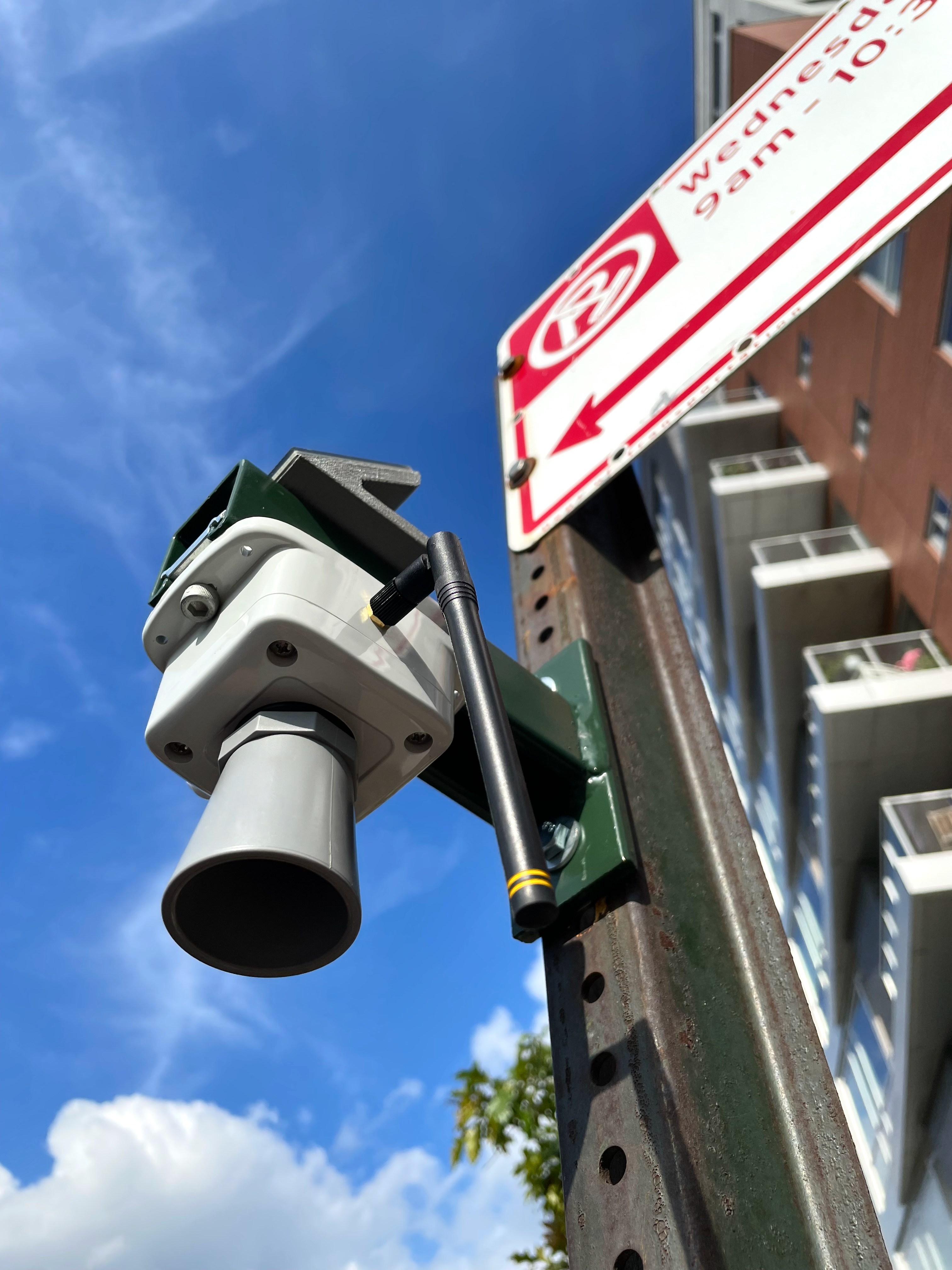
The objective of the
FloodNet project is to develop and deploy a platform to provide real-time, street-level flood information - including the presence, frequency, and severity of local surface flood events - to a range of stakeholders, including policy makers, government agencies, citizens, emergency response teams, community advocacy groups, and researchers. This platform includes a physical sensor network, its connectivity, as well as data storage, and sharing infrastructure.